|
|
|
|
Home - Location - Timetable - Facilities - FAQs - Events - Stately Trains
News - Photogalleries - Digital Archive - History - Shops - Departments Stocklist - Projects - Signalling - Membership - Volunteering - Links
|

|
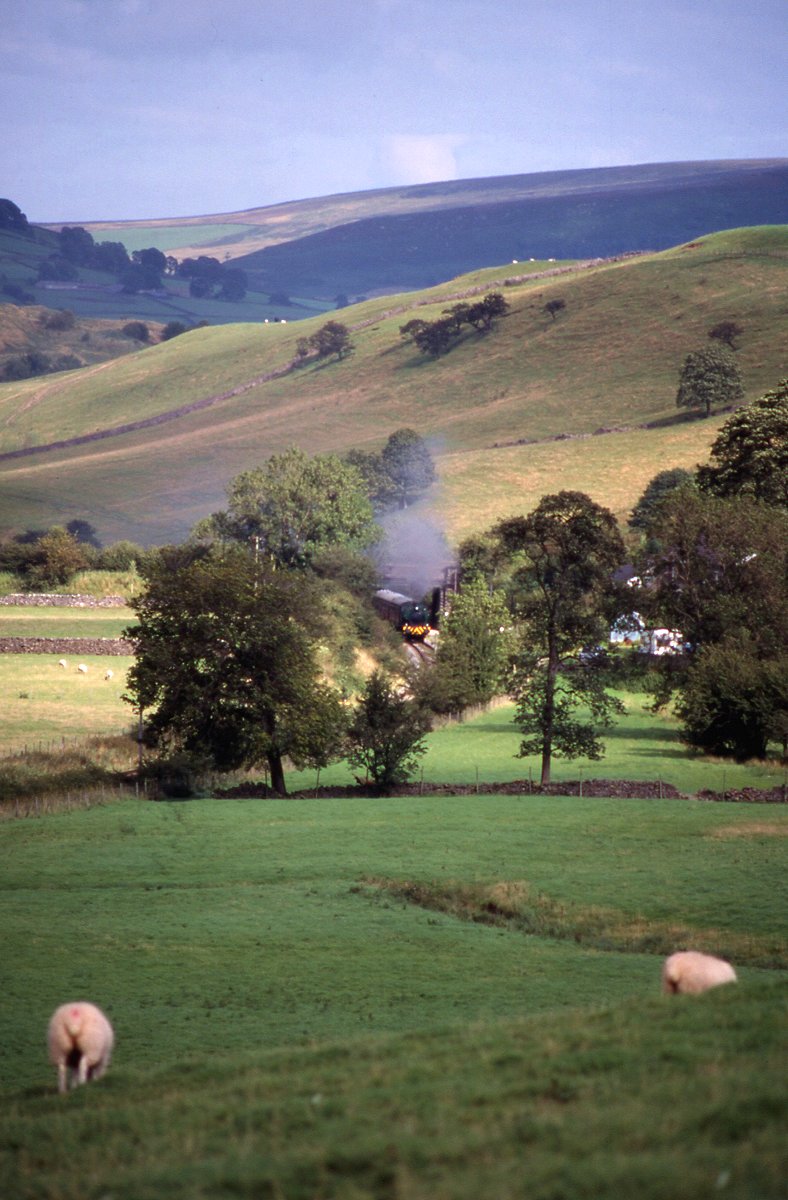
With a touch of snow still lying on the slopes, this photograph shows the
hills above Skipton quite well, and also offers a glimpse of the town itself,
to the centre-left.
(c) Robert Milner.
|
|
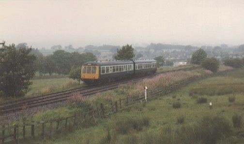
Despite being a gloomy day, this photograph of Bow Bridge Loop shows the
surrounding countryside at this location, as well as offering a very slight
view of the hills to the rear.
(c) Charles Boylan.
|
|
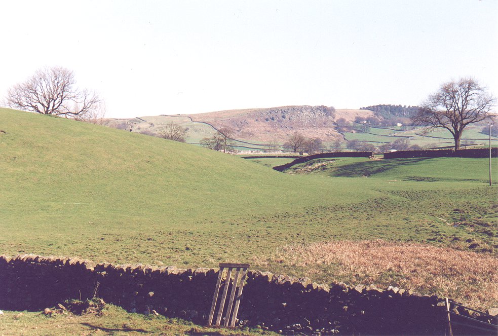
Bow Bridge Loop again, but this time it is a lot clearer, and the hills can
easily be seen, including Embsay Crag, and below that the village itself.
(c) Charles Boylan.
|

|
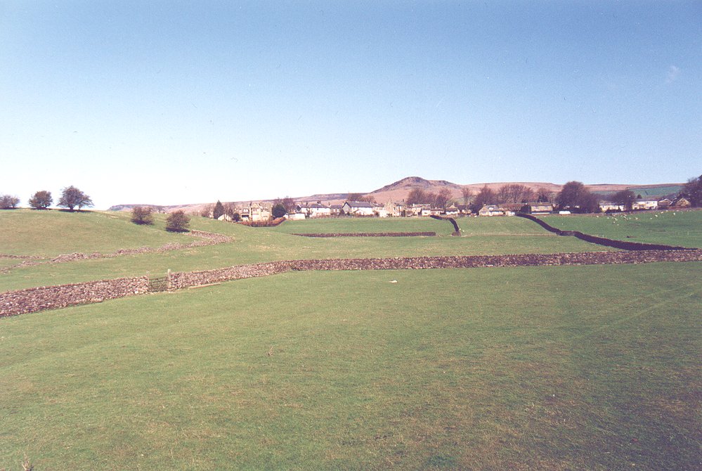
Quite an old view of Embsay yard, but also showing the hills in the background
and the fields alongside the line.
(c) Charles Boylan.
|
|
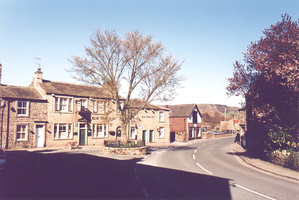
Heading up into Embsay village from the railway is well worthwhile. This is
the view alongside The Elm Tree (see below)...
(c) Tim Warner.
|

|
...between two of the houses, the hills above Embsay (leading into Embsay
Moor) are visible.
(c) Tim Warner.
|
|
Slightly to the right of the previous two photographs is the Elm Tree Inn
itself, and like the Cavendish Arms beside the station, serves good food &
beer.
(c) Tim Warner.
|
|
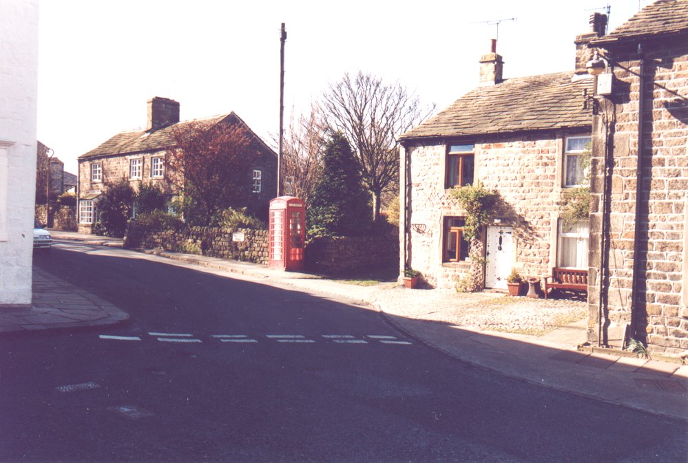
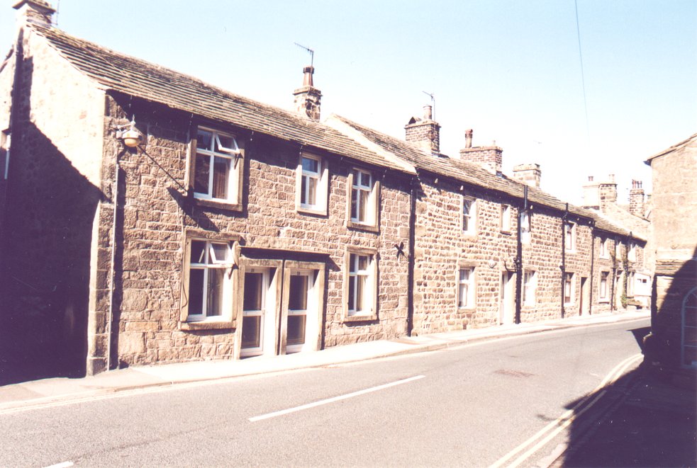
Carrying on round to the right past the post office and shop, this row of
stone cottages is visible, and slightly further on there is a playground.
(c) Tim Warner.
|
|
Turning left after the cottages, towards Eastby (?), produces
this view, just to the left of the church.
(c) Tim Warner.
|
|
The opposite side of the road also has a good view, as can be seen here.
(c) Tim Warner.
|

|
This photo was taken from the footbridge at Embsay, and is looking out over
the village, with its stone houses and blackened mill chimney, onto the
hills behind.
(c) Simon Gott.
|

|
Looking slightly further round to the right, from the same location, sees some
more of th evillage, as well as Embsay Crag to the rear.
(c) Simon Gott.
|
|
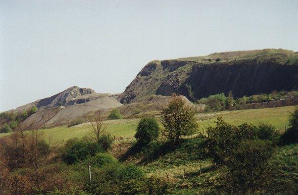
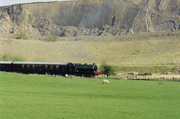
Again from Embsay footbridge, this time looking in the other direction, towards
the quarry. The old working face of the quarry can be seen, and this features
prominently in the carriage window for the first section of the journey.
(c) Simon Gott.
|

|
A view from the back lane, showing something more of the railway's
setting as it leaves Embsay Station for Bolton Abbey.
(c) Tim Warner.
|
|
This view of the village is taken from the railway, heading towards Skibeden.
Some of the village is clearly visible, as are the hills behind. The back
lane follows the line of the houses that can be seen.
(c) Tim Warner.
|
|
Slightly further along the line, away from Embsay, this view is presented to
the passengers, looking across fields towards the craggy rock in the
background.
(c) Tim Warner.
|

|
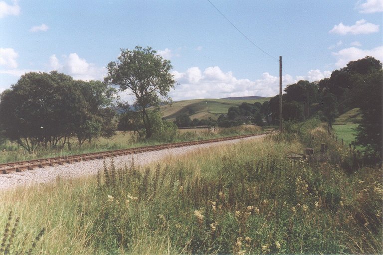
Skibeden footbridge offers the photographer or walker a good view of the valley
and the railway.
(c) Tim Warner.
|
|
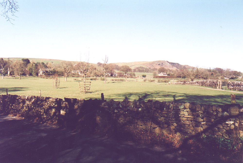
This shows the view from the back road which runs parallel to the railway
between Embsay and Holywell (approximately), with the quarry workings visible.
(c) Simon Gott.
|
|
Looking the other way from the train, the view is very different, the natural
scenery being far more prominent. Here the hills are visible, looking from
Skibeden across the valley, slightly back towards Embsay.
(c) Wendy Anderson Collection.
|
|
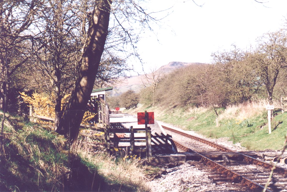
This view is taken from the public footpath, slightly nearer Holywell Halt
than the previous picture, but looking in the same direction. the footpath
crosses the line by means of the footbridge seen in this picture.
(c) Charles Boylan.
|
|
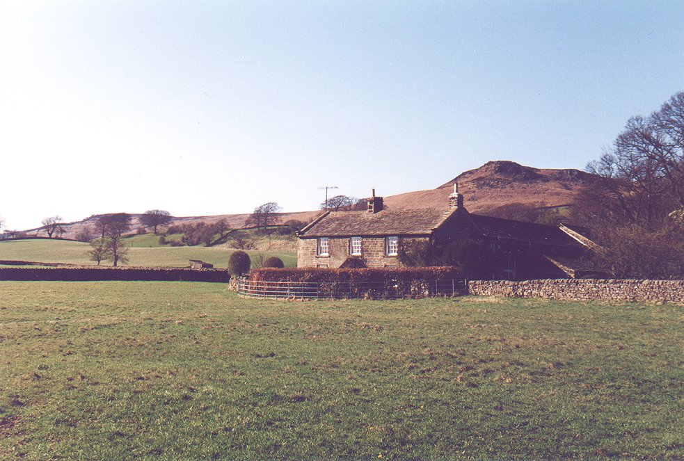
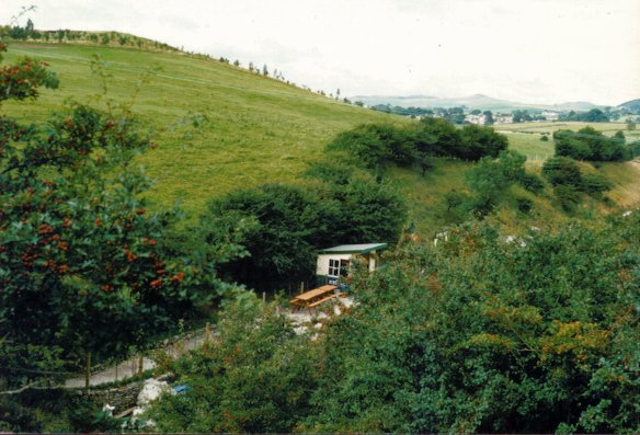
The setting of Holywell Halt itself is very pleasent, as can be seen from this
photo which was taken from the picnic area just above the station.
(c) Andy Lister.
|
|
Although currently a request stop, Holywell Halt has a very pleasent setting,
and looking back towards Embsay produces this view. The nature trail and
picnic area are to the left of the photograph, with further picnic tables
at the top of the cutting to the right.
(c) Tim Warner.
|
|
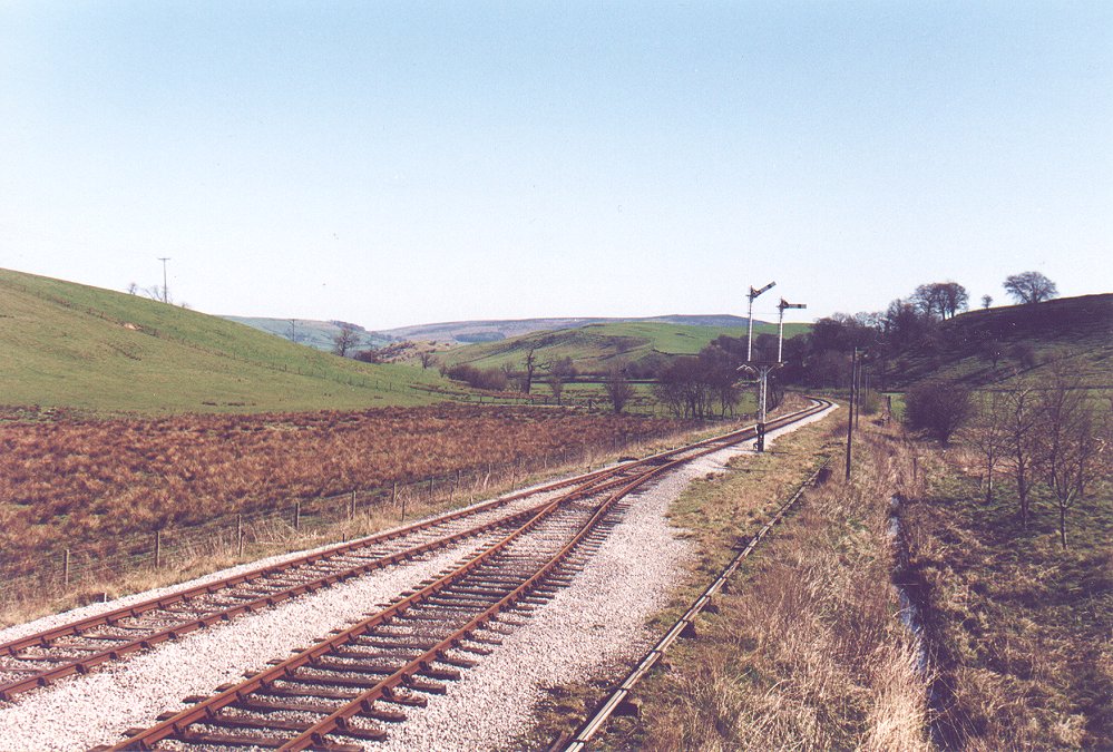
A view from the signalbox shows how the railway makes its way towards Bolton
Abbey in the distance, behind the hill. To the right of the picture is Draughton
village (on the top of the hill), and there is a footpath that runs close by
to the right of the photo.
(c) Tim Warner.
|
|
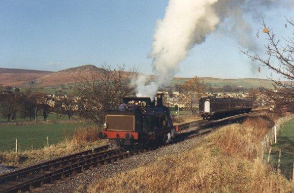
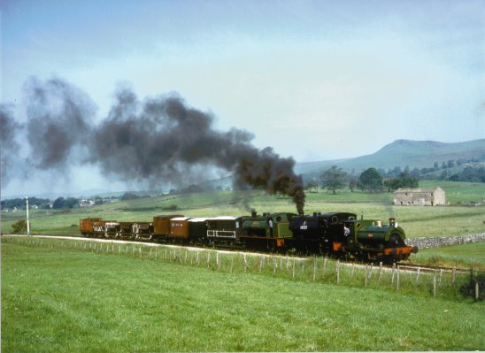
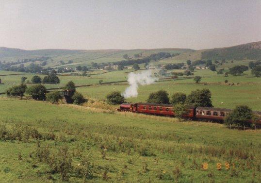
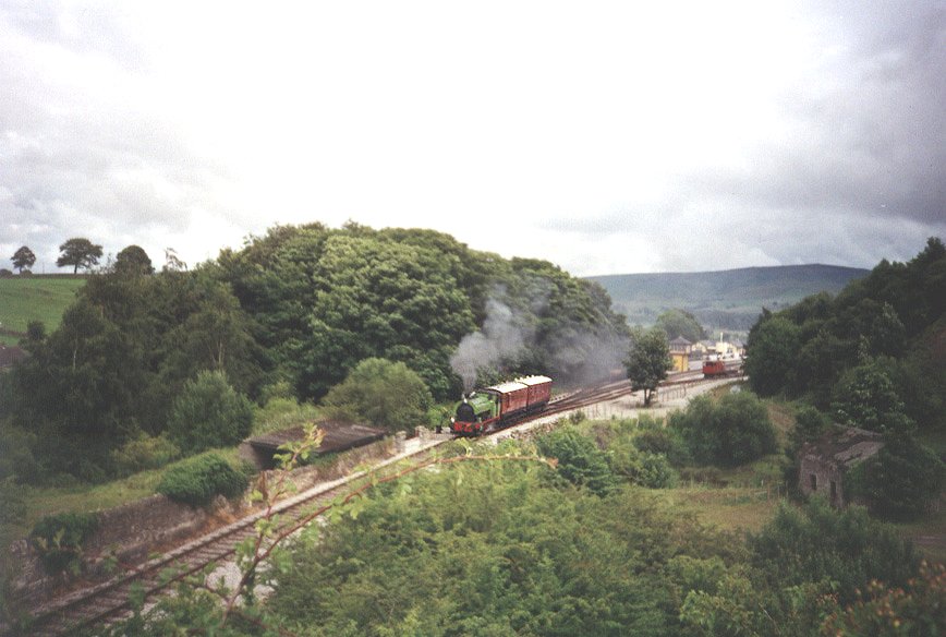
On the return from Bolton Abbey, Monckton can be seen working reasonably hard under Prior's Lane bridge.
This was taken from the footpath, which also affords great views of both the scenary and the railway in action.
(c) Tim Warner.
|
|
A view from the lineside looking down the valley towards Bolton Abbey. The village
of Draughton is up the hill to the right, and the moor is just visible behind
the hills.
(c) Tim Warner.
|

|
A view across the valley between Stoneacre and Bolton Abbey station - the train has left Bolton
Abbey for Embsay, and runs parallel to the A59 road, which runs approximately along the line of
the steam from the loco.
(c) William Lister.
|
|
This is the view from the top of the quarry of the approach to Bolton Abbey station (which is in
the background), and gives some impression of its setting - see the next photograph as well.
(c) William Lister.
|
|
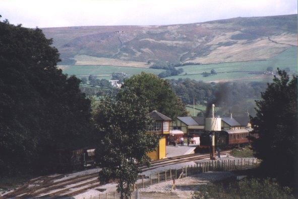
This overview of Bolton Abbey Station shows its setting very well, trees
surrounding one end of it, and the hills in the background. Despite the
appearance of the hills they are in fact a good way further back than
suggested here.
(c) Pete Walker.
|

|
The station's location is shown here in a photograph taken from the other
side of the valley, which also shows the main A59 which runs just in front of
the houses. The station buildings (especially the signalbox, right) can be
glimpsed.
(c) William Lister.
|

|
Bolton Priory also called Bolton Abbey, is just over a mile and a quarter away from the station, as it always has been, and there is a footpath (see below) to allow visitors to wander up and see the ruins, as well as the village. For further photographs of the priory and village, see our useful links page, as there is a website listed which has such photos. |

|
Yorkshire Dales Railway Museum Trust (Holdings) Limited
Registered Charity No. 1116386 Bolton Abbey Station, Bolton Abbey, Skipton, North Yorkshire, BD23 6AF General Enquiries: 01756 710614 - Talking Timetables & Fax: 01756 795189 enquiries AT embsayboltonabbeyrailway DOT org.uk webmaster AT embsayboltonabbeyrailway DOT org.uk |

|
